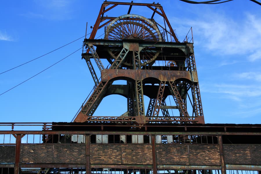

The Mining Remediation Authority (MRA), formerly The Coal Authority, has announced the launch of a free online tool providing public access to thousands of historical coal mining plans.
The digital maps are now available on all devices and offer an “extraordinary view into the history of local landscapes, mining operations, and the lives of the communities who worked within them,” the MRA says.
The MRA worked with the British Geological Survey to create a publicly available online resource to search coal and non-coal mine plans held by either organisation.
Geraldine Wildman, digital and information director at the MRA, said: “This resource opens a door to the past, providing a valuable historical record of mining activity across Great Britain.
“The archive includes around 120,000 coal mine plans, some dating back to the 17th century. Despite their age, these plans remain a critical source of intelligence on underground conditions, including the extent and connectivity of coal mine workings.
“For communities built on coal mining, these plans represent family history, shared memory, and a deep-rooted connection to their local area. Making them available ensures that this heritage is preserved and celebrated.”
Alison Steven, NGDC data operations and governance lead at the British Geological Survey, added: “The launch of the new Mine Plans Catalogue is a part of wider initiative at BGS to make legacy geological data more accessible. Working alongside the Mining Remediation Authority, we have brought these plans together into a single Mine Plans Catalogue. This means users can now discover records held by both organisations in one place, making it easier than ever to explore the ground beneath our feet.
“Not only will this help communities reconnect with the stories that shaped their local heritage, but wider access to these plans also supports society’s evolving interests in how the subsurface is used, from the rising demand for geothermal energy installations to the need for robust subsurface data that underpins responsible land use planning decisions.”
The coal mine plans are also available through the Mining Remediation Authority’s online map viewer, alongside a wider range of data relating to the nature and extent of mining across Great Britain. This includes specific information to support safe planning and development on the coalfield, data on the potential for mine water heat, and records of historical metal mining in England.
To explore local mining plans, users can search the Interactive Map Viewer or access individual records via the Mine Plans Catalogue.