
Until now, there has not been any authoritative information to show where property is at risk of flooding by groundwater, with the only data available for the purpose merely showing susceptibility.
The reports are based on scientific and quantitive underground flood risk models, including data from the British Geological Survey national geoscience database and calibrated to the best available field evidence of flooding incidence, this is the first risk data set focusing purely on groundwater.
Key benefits of the data include the fact that it specifically assesses risk, rather than susceptibility to flooding. It therefore gives fewer false positive results.
In turn for the residential market this means that conveyancing solicitors can more accurately highlight risk to new homebuyers, facilitating quicker transactions because properties will not be unduly blighted by less accurate flood data.
Furthermore, from the very outset environmental consultants can more correctly identify, mitigate and avoid potential development in areas that are confirmed as being exposed to groundwater flooding.
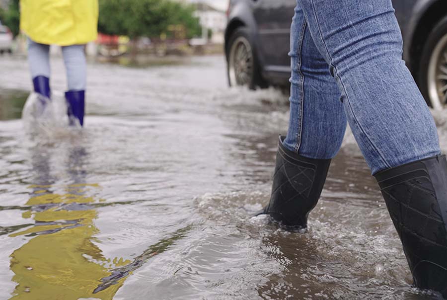
Groundwater flooding typically occurs after long periods of sustained high rainfall and takes longer to dissipate than surface water, meaning that groundwater floods can persist for several weeks and even months following severe flooding. Recently, many locations have seen groundwater levels rise by more than 10 metres thanks to prolonged and persistent rainfall conditions, and recent groundwater flooding events have proven the value of this new map by confirming the validity of the risk model.
Obviously with extreme weather conditions likely to become more prevalent this tool is to become more and more useful.
Mark Fermor, from ESI added: “There are areas where groundwater flood risk is significant, and it is important for those contemplating purchasing property or developing land to understand the risks and how to manage them. There will be local or site-level features that are not included in these preliminary assessment maps but will act to prevent actual flooding, so it is also important to review the detailed guidance provided in the reports to put the findings in context. Groundwater flooding is a significant problem and these new reports provide the advice needed to understand the data and what action, if any, is appropriate to address the risk.